
Stawamus Chief: before you go
Three peaks, 540 to 630 metres of climbing, and a parking lot that tows. Here's what BC Parks says about access, trails, conditions, and etiquette before you hike the Chief.
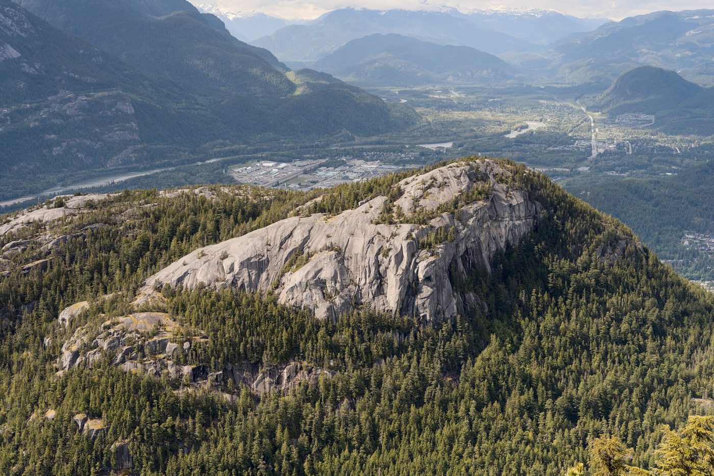
The Stawamus Chief is the granite wall at the south end of Squamish, about 700 metres of it according to BC Parks, and the hike to its three summits is the corridor’s signature day out. It’s short. It isn’t easy. Here’s what BC Parks and its park operator say you need to know before you go.
Getting there and parking
The trails start at the day-use parking area near the campground in Stawamus Chief Provincial Park, just off Highway 99 at the southern entrance to Squamish. They can also be reached from neighbouring Shannon Falls Park. Park only in designated lots. BC Parks enforces parking here, cars outside the lots or in “no parking” areas are towed at the owner’s expense, and anyone left behind in a closed day-use area pays a gate-unlocking fee.
The Apron lot gate hours change with the season, per BC Parks:
- March 15 to May 7: 7 a.m. to 9 p.m.
- May 8 to Sept. 15: 7 a.m. to 11 p.m.
- Sept. 16 to Oct. 15: 7 a.m. to 9 p.m.
- Oct. 16 to March 14: always open, unless snow blocks access
The park page lists no day-use pass requirement. On a busy weekend, a full lot is your cue to come back another day, not to park on the shoulder.
Trail options
From the parking lot the route follows Oleson Creek, then splits into separate trails for each peak. BC Parks lists:
- First Peak: 1.5 km, 540 m of elevation gain
- Second Peak: 1.7 km, 590 m of gain
- Third Peak: 1.8 km, 630 m of gain
- Shannon Falls: 1.5 km from the Stawamus parking lot
The park brochure puts the summits at 610 m, 655 m and 702 m. First Peak is the shortest way up and Third Peak the highest. All three have views of Howe Sound and the Squamish Valley.
How long it takes
BC Parks publishes distances and elevation gains, not hiking times, so Corridor 99 won’t invent one. Do the arithmetic: 540 to 630 m of climbing in under 2 km is steep by any standard. Start early enough to be down before the gate closes, and give yourself more time than the short distances suggest.
Difficulty and conditions
BC Parks calls the Chief Trail a steep and difficult climb that requires good physical condition. Its safety notes add that rockfall can happen anywhere in the park at any time, that there’s rockfall debris on the upper sections of the Angel’s Crest Trail, and that in winter the trail and stair treads can be slippery, with falling ice possible. Check the advisories on the BC Parks park page before you leave home, and check DriveBC for Highway 99 conditions on the way.
Etiquette
- Stay on the trail. BC Parks asks hikers to keep to designated trails, because shortcuts destroy plants and soil.
- Dogs: leashed everywhere in the park except on the Chief Peaks Trail itself, and you pick up after them.
- Falcons: the cliffs are nesting habitat for peregrine falcons, and climbing routes close, generally from March 15 to July 31. Watch from a distance; BC Parks suggests binoculars from the highway pull-out day-use area.
- No fires: campfires are prohibited in the park.
- Food: a 2026 advisory reports a bear regularly visiting the campground, and BC Parks has zero tolerance for unattended attractants. Keep food in your car or a bear-proof bin.
What to bring
BC Parks’ list is short: appropriate clothing, food, water, and sturdy footwear. Bring water from home. There are no taps at the highway pull-out day-use area, and the cold-water taps at the campground entrance are shut off in the off-season. Toilets are pit toilets only. The nearest store, BC Parks says, is in Squamish, about five minutes north.
Staying over
The campground is first come, first served: 57 walk-in sites and 52 vehicle sites, paid in cash at a self-registration kiosk, $10 per person per night, according to the operator. Vehicle sites aren’t suited to large RVs.
Nearby
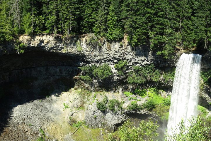
The Sea to Sky Gondola is next door at 36800 Highway 99, with its own parking lot at the base, if you’d rather ride up than climb. Shannon Falls Park, also next door, has an easy 350 m walk to the falls, which Sea to Sky Parks describes as the third-highest in BC. Heading home south, the Howe Sound stops guide picks up at Murrin Park, about 9 km down the 99.
Sources
- BC Parks: Park description (700 m cliffs), trail access via Oleson Creek, peak distances and elevation gains, Shannon Falls distance, safety information, parking enforcement, pets, climbing closures, Apron lot gate hours, water and toilets, campsites and fees, nearest store
- BC Parks: Active advisories: illegally parked vehicles, peregrine monitoring, camping regulations, bear visiting the campground (May 2026)
- BC Parks (park brochure, 2009): Summit elevations (610, 655 and 702 m), Shannon Falls 350 m trail
- Sea to Sky Park Services (park operator): Campground: first come, first served, cash self-registration, $10 per person per night; no campfires; Shannon Falls is BC's third-highest waterfall
- Sea to Sky Park Services (park operator): Shannon Falls description
- Sea to Sky Gondola: Sea to Sky Gondola address and base parking
- DriveBC: Highway 99 conditions
- BC Parks: Murrin Park distance to Squamish (9 km)
- Wikimedia Commons: Photo licence and credit