Five towns, one highway: how Lions Bay, Britannia Beach, Squamish, Whistler and Pemberton fit together, how long the drive takes and how to get around without a car.
Britannia Beach, BC is not a municipality. It is an unincorporated community in the Squamish-Lillooet Regional District's Electoral Area D, alongside Furry Creek and…
Status Unincorporated; SLRD Electoral Area D (a designated place in the census)
Squamish is the corridor's biggest town and its fastest-moving story. The 2021 Census counted 23,819 residents, up 22.2% in five years, and the District…
Population (2021 Census) 23,819 (up 22.2% from 2016)
Whistler was incorporated on September 6, 1975 as the Resort Municipality of Whistler, when fewer than 1,000 people lived here, per the municipality's own…
Population (2021 Census) 13,982
Photo: Richie Diesterheft from Santa Barbara, CA, USA / CC BY-SA 2.0 / Wikimedia Commons
The Sea to Sky corridor is the strip of coast and mountain that Highway 99 climbs between Horseshoe Bay and Pemberton: five communities, one road and a lot of weather. It runs up the east shore of Howe Sound, past the Stawamus Chief and the Sea-to-Sky Gondola, below Garibaldi Provincial Park and into the Pemberton valley. Corridor 99 is published on the territories of the Sḵwx̱wú7mesh Úxwumixw (Squamish Nation) and the Líl̓wat Nation; the Resort Municipality of Whistler describes Whistler as shared territory of both Nations.
The towns
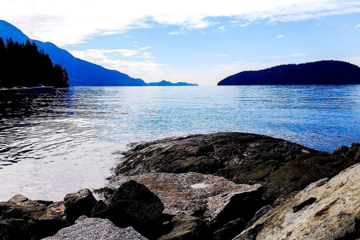
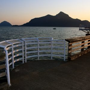
Lions Bay is a small village of about 1,400 people on Howe Sound, and the only one of the five that belongs to Metro Vancouver. Its three beach parks are the draw, and the bus is the smart way to reach them.
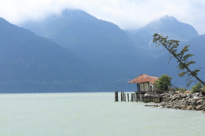
Britannia Beach is an unincorporated community in the Squamish-Lillooet Regional District, best known for the Britannia Mine Museum. The mine ran from 1904 to 1974 and was once the largest copper mine in the British Commonwealth, according to the museum.
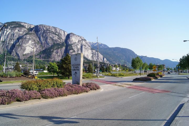
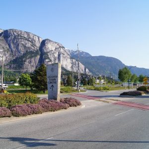
Squamish is the corridor’s largest town, with 23,819 residents in the 2021 Census and growth of 22.2% in five years. Climbing, biking, wind sports and a fast-changing food scene all live here, under the Chief.
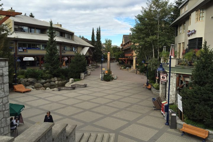
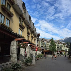
Whistler, incorporated as a resort municipality in 1975, counted 13,982 residents in 2021 and has the densest cluster of restaurants and events on the 99.
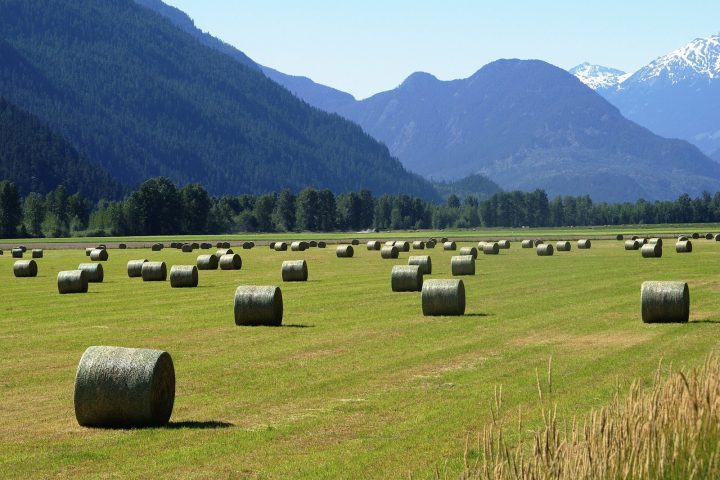
Pemberton is a farming village of 3,407 below Mount Currie, where the Sea to Sky Highway officially ends and the Duffey Lake Road begins.
The drive
The Sea to Sky Highway section of the 99 starts at the Horseshoe Bay interchange in West Vancouver and runs about 135 km to Pemberton. Measured from Horseshoe Bay using the highway’s kilometre markers, Lions Bay is about 12 km up the road, Britannia Beach about 34 km, downtown Squamish about 45 km, Whistler Village about 103 km and Pemberton about 135 km.
Times depend on traffic, weather and construction, but the published estimates give a fair idea. Tourism Squamish puts Squamish 55 minutes from downtown Vancouver and 45 minutes from Whistler, with Horseshoe Bay about 40 minutes to the south. The Britannia Mine Museum says the drive from Vancouver takes about 45 minutes. Tourism Whistler calls Whistler a two-hour drive from Vancouver, and Tourism Pemberton adds another 30 minutes past Whistler, for about 2.5 hours in total.
The road is narrow and mountainous in places, and closures for crashes and rockfall are a fact of life. Tourism Squamish reminds drivers that winter tires are needed on the 99 from October 1 to April 30. Check DriveBC before you leave, or use the Highway 99 status page, which summarises DriveBC’s live events for the corridor.
Getting around
Driving is still the easiest way to cover the whole corridor, especially north of Whistler. Tourism Pemberton notes there is no local taxi service in Pemberton.
Transit exists, but in pieces. TransLink’s route 262 Lions Bay / Caulfeild serves Lions Bay, with stops a short walk from all three beach parks. Squamish and Whistler each run local BC Transit systems, and Squamish added BC Transit’s OnDemand service in March 2026. The Route 99 Pemberton Commuter links Whistler Village and Pemberton, with 10 trips a day in the early morning and evening, per Tourism Pemberton. Between Vancouver, Squamish and Whistler, the options are private: Tourism Squamish lists the Squamish Connector (via Britannia Beach), the BC Connector, Skylynx airport shuttles and the Poparide carpool app.
Cycling: the Sea to Sky Trail, run by the Squamish-Lillooet Regional District, stretches 180 km from the Squamish waterfront to D’Arcy, north of Pemberton. Check the regional district’s trail page for current conditions and closures before riding a section.
Sources (18)
Wikipedia: Highway 99 kilometre markers (junction list, citing BC MoTI Landmark Kilometre Inventory): Horseshoe Bay/Eagle Ridge km 68.76, Lions Bay Ave 81.15, Copper Dr 102.28, Cleveland Ave 113.67, Village Gate Blvd 171.73, Pemberton Meadows Rd 203.56
Tourism Squamish: Squamish distances/times, Horseshoe Bay 40 min, winter tires Oct 1–Apr 30, Squamish Connector, BC Connector, Skylynx, Poparide
Tourism Squamish: BC Transit OnDemand in Squamish from March 30, 2026
Statistics Canada: 2021 populations: Squamish 23,819 (+22.2%), Whistler 13,982, Pemberton 3,407 (Census Profile page; values read via the StatCan Census Profile SDMX API because the page blocks automated requests)


.jpg)
.jpeg)

.jpg)
