

Cycling the Sea to Sky Trail: what’s built, what’s gravel, and where you share the 99
The regional trail runs from the Squamish waterfront toward D'Arcy, but it isn't one smooth path. Here's what the official sources say about surfaces, highway sections, and this month's closure south of Pemberton.
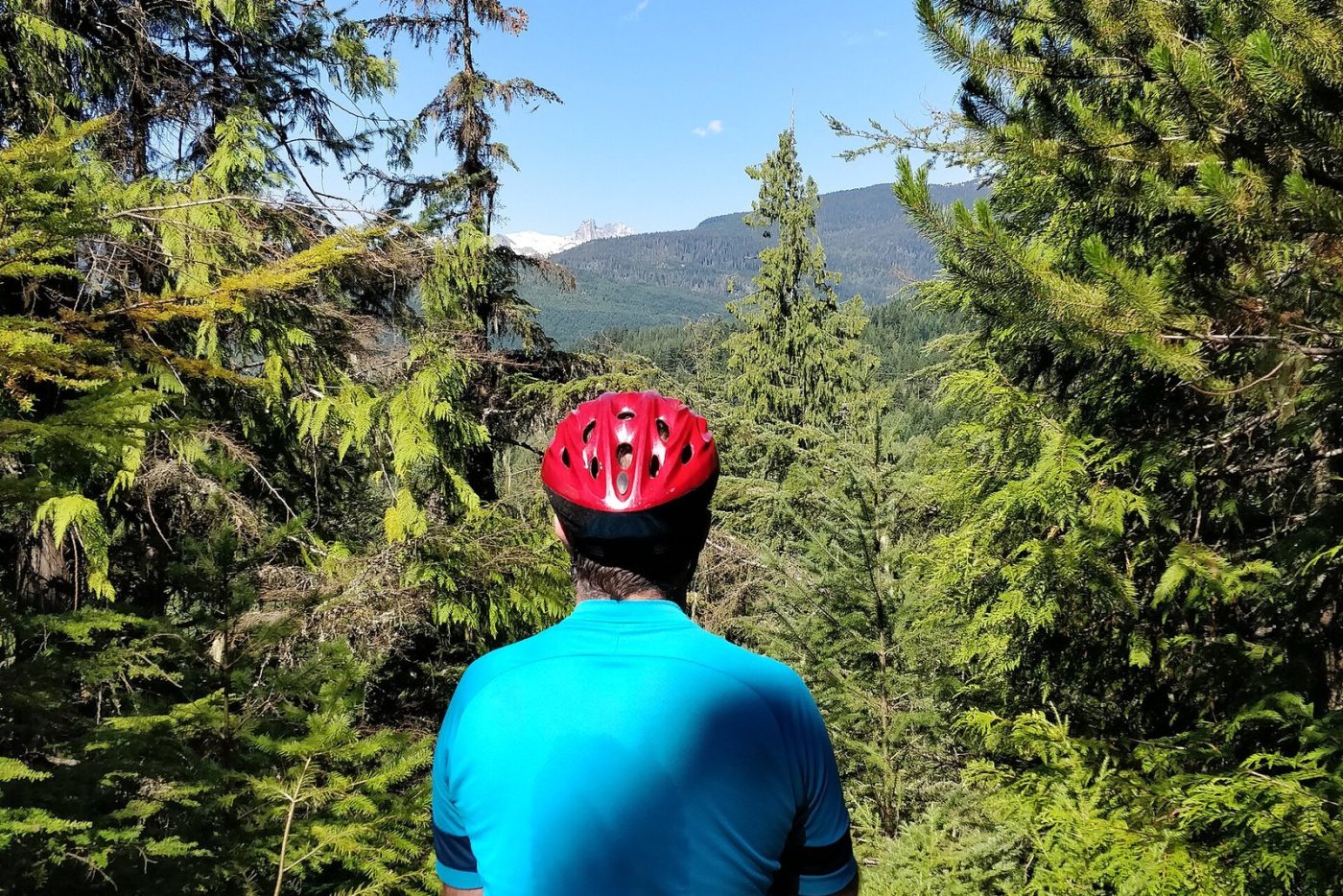
The Sea to Sky Trail is the corridor’s long-distance bike route, and also its most misunderstood one. It’s paved in town, gravel or singletrack-ish in between, and in a few places it’s simply the shoulder of Highway 99. Here’s what the people who build and maintain it say, segment by segment. One thing you won’t find here is a ride time: none of the official sources publish one, and Corridor 99 won’t make one up.
The big picture
The Squamish-Lillooet Regional District (SLRD) describes the trail as stretching 180 km from the Squamish waterfront to D’Arcy, linking the ocean to the Coast Mountains. It’s non-motorized and multi-use, open year-round for walking, running, hiking and biking, with snowshoeing and cross-country skiing in winter. It’s also part of the national Trans Canada Trail network.
That 180 km is the finished vision. The SLRD’s June 2023 funding announcement put the built trail at 126 km between Squamish and D’Arcy and said another 9 km were coming. The District of Squamish’s parks page says plainly that parts of the trail are still under construction.
Squamish: the Corridor Trail
In town, the Sea to Sky Trail is the Corridor Trail. The District calls it a paved commuter trail that, when complete, will run from the Stawamus Chief Apron to Depot Road in Brackendale, linking Brennan Park Recreation Centre, Smoke Bluffs Park and Stawamus Chief Provincial Park along the way. The SLRD lists it among the sections that get year-round snow clearing and debris removal.
Squamish to Whistler: the gap along the Cheakamus
North of Squamish, the route leaves pavement for the long climb to Whistler, and this is where the trail is least finished. In 2023 the SLRD said engineering and design work would happen on a 4 km stretch along Highway 99 between its Paradise Valley–Cheakamus Canyon and Chance Creek–Pinecrest Estates sections. Until that’s built, plan for road riding there. The SLRD’s own safety advice for sections along the highway and local roads: watch the traffic, ride single file, and obey the rules of the road.
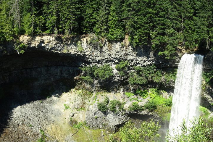
At Brandywine Falls Provincial Park, BC Parks describes a 1.5 km packed-gravel section running from the falls trail to the Whistler Bungee bridge over the Cheakamus River, with mostly gentle grades and a few steep pitches and tight corners. E-bikes aren’t allowed on trails inside that park. Our Brandywine Falls trail notes cover the park.
Whistler: the Valley Trail
Through Whistler, the Sea to Sky Trail joins the Valley Trail. The Resort Municipality of Whistler says there are more than 50 km of it, paved and shared, with some gaps in the network and some sections lit at night. About 38 km is maintained through winter for walking and biking, with village and school routes cleared first, per the municipality. Dogs must be leashed.
South of the village, Whistler has been replacing six bridges on the Sea to Sky South Trail between the Train Wreck trailhead and the Cheakamus Suspension Bridge. Its Oct. 7 update says that work wraps up ahead of schedule by Oct. 11.
Whistler to Pemberton: Gord’s Garden and the highway
North of Whistler is the trail’s wildest stretch. Gord’s Garden, a 7 km section finished in 2020, follows the Green River through the boulders of a prehistoric rock avalanche known as the Rock Garden, according to the SLRD. In 2023 the SLRD said a further 9 km section between Gord’s Garden and Nairn Falls was expected to be done by April 2024.
It still isn’t all off-road. A Pemberton-to-Whistler trip report published by the Trans Canada Trail in September 2025 says some gaps remain and parts of the route run on the shoulder of Highway 99, including the bridges over Rutherford Creek and the Soo River. In Pemberton, the SLRD lists the Pemberton Highway 99 Trail among its year-round maintained sections.
Closed right now: Nairn Falls to Rutherford
The SLRD has closed the trail between Nairn Falls Provincial Park and the Rutherford Forest Service Road from Sept. 24 to Oct. 23, 2026, while bridges and culverts are replaced. The detour is Highway 99, and the SLRD says cyclists must follow all motor vehicle rules for cycling on the highway. If you’d rather not share the two-lane 99 with trucks, wait until after Oct. 23. Our news story has the closure map.
Before you ride
- Maps: the SLRD points riders to its official trail maps and to the Trans Canada Trail map. It also lists Trailforks, AllTrails and Gaia GPS as commonly used tools, which are third-party apps rather than official sources.
- Self-sufficiency: the SLRD warns that some sections are rugged, remote and far from services, and cell service may be limited. Carry tools, first aid, food and water, and tell someone your plan.
- Helmets: mandatory in B.C., as BC Parks reminds riders.
- Conditions: trail conditions change with weather, maintenance and wildlife, per the SLRD. Check its notices page for closures and DriveBC before riding any highway section.
Sources
- Squamish-Lillooet Regional District: 180 km route, uses, year-round maintained sections, Trans Canada Trail link, map resources, travel-safely advice including highway sections
- Squamish-Lillooet Regional District: 126 km built; 9 km Gord's Garden–Nairn Falls section expected by April 2024; 4 km design area along Highway 99 between Paradise Valley–Cheakamus Canyon and Chance Creek–Pinecrest
- Squamish-Lillooet Regional District: Gord's Garden: 7 km, Green River, Rock Garden, completed December 2020
- Squamish-Lillooet Regional District: Closure Nairn Falls–Rutherford FSR Sept. 24 to Oct. 23, 2026; Highway 99 detour
- District of Squamish: Corridor Trail route and connections; parts of the Sea to Sky Trail under construction
- Resort Municipality of Whistler: Valley Trail length, paving, gaps, lighting, 38 km winter maintenance, leash rule
- Resort Municipality of Whistler: Six bridges on the Sea to Sky South Trail finished by Oct. 11
- Trans Canada Trail: Highway 99 shoulder sections between Pemberton and Whistler, including Rutherford Creek and Soo River bridges (trip report, Sept. 29, 2025)
- BC Parks: 1.5 km packed-gravel Sea to Sky Trail section to the Whistler Bungee bridge; e-bike rule; helmets
- Wikimedia Commons: Photo licence and credit
.jpg)